Urgent
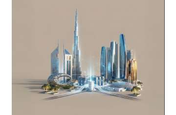
The UAE: A Nation That Masters the Art of Crossing Crises
 Joint statement from an Arab and Islamic state rejecting the remarks of the US ambassador to Israel
DCT Abu Dhabi lists 40+ new sites under Modern Heritage Register
TRENDS panel discusses Türkiye–MENA relations
UAE leaders congratulate President of Serbia on National Day
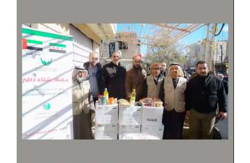
Cyber Security Council calls for choosing secure electronic donation methods
Invest Bank announces over 120 scholarships to support early childhood education
Book market lights up Sharjah Heritage Days
Joint statement from an Arab and Islamic state rejecting the remarks of the US ambassador to Israel
DCT Abu Dhabi lists 40+ new sites under Modern Heritage Register
TRENDS panel discusses Türkiye–MENA relations
UAE leaders congratulate President of Serbia on National Day
Cyber Security Council calls for choosing secure electronic donation methods
Invest Bank announces over 120 scholarships to support early childhood education
Book market lights up Sharjah Heritage Days


Comments